|
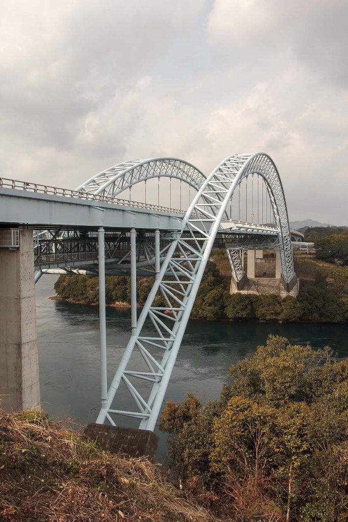 |
| 03-Bridge over Harioseto Strait | |
| Latitude: N 33°3'9,93" | Longitude: E 129°45'15,75" | Altitude: 25 metres | Location: SeihichÅ-komukaegÅ | City: Inouragou | State/Province: Nagasakiken | Country: Japan | Copyright: Ron Harkink | See map | |
| Total images: 23 | Help | |